The short version
Craiova sits on the Jiu, at the northern edge of the Romanian Plain, where the flat country meets the last rise before the Carpathian foothills. It is low, it is flat, and it is a long way from a mountain — and every one of those facts has a consequence a visitor will feel.
The most important one: this is one of the hottest places in Romania in July, and one of the foggiest in December. Plan around that and the city is easy. Ignore it and it is not.
The river, which is not what you expect
The Jiu gives the city its position and almost nothing else. It is not a waterfront city in the way the name of a river on a map suggests. The river runs to the west of the historic centre, the centre faces away from it, and a first-time visitor can spend two days in Craiova without noticing a river at all.
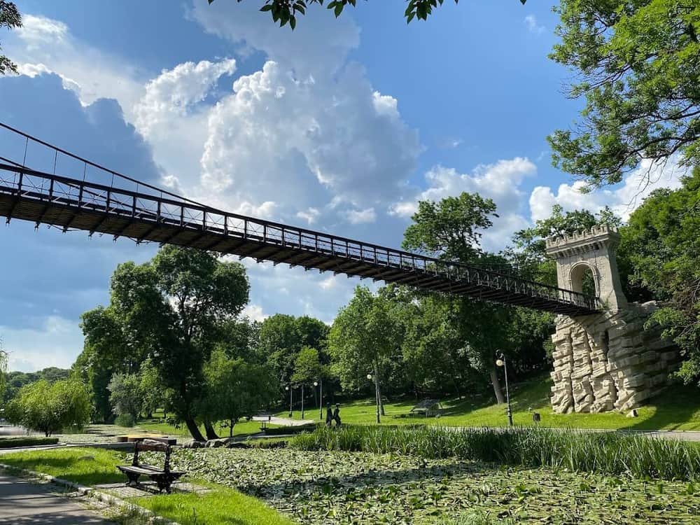
This is normal for the southern Romanian plain, where rivers are working waterways and flood risks rather than promenades. The city's relationship with water is through its parks and lakes instead — see Parcul Romanescu, whose lake and islands are an entirely designed landscape.
The land
| Setting | northern edge of the Romanian Plain |
| River | the Jiu, west of the centre |
| Relief | flat, low; no significant hill in the city |
| Nearest mountains | the Parâng and the Transalpina, north |
| Nearest big water | the Danube, south |
Flatness is the single most useful thing to know for getting around. Craiova is a genuinely good city for walking and for cycling, because there is nothing to climb. Craiova without a car works better here than it would in a hill city.
The climate, and the two seasons that matter
Continental, with the extremes that implies: hot summers, cold winters, and short transitions.
July and August are serious. The plain holds heat, there is no sea breeze and no altitude, and afternoons can be genuinely punishing. This is not a detail — it changes how you should plan a day. How to survive a Craiova summer is a practical page, not a dramatic one.
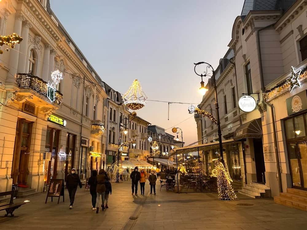
December brings fog. Low, flat, river-adjacent country produces persistent winter fog, which is atmospheric in the Christmas market and genuinely annoying if you are driving.
Spring and autumn are the answer. When to visit Craiova makes the case properly, but the short version is that April–May and September–October are what this climate does well.
Where to stay nearby
Live prices and availability on a map centred on this exact spot — hotels, apartments and hostels, so you can judge the walk from here rather than guess from an address.
Bookings made through this map earn us a commission. Your price is unaffected.
Why the geography built the city
Three consequences, all visible:
- Grain. Flat, fertile land made the agricultural wealth that paid for the palaces and that the Ban and the money of Oltenia is about.
- Roads and rail. Flat country is cheap to build across, which is why Craiova became a junction and why getting here is easier than its size suggests.
- Room to expand. Nothing constrained the twentieth-century city, so it spread. That is why the districts are large, planned and low-density by European standards.
A city in a valley would have done none of these three things.
What this means for a trip
- Day trips go north or south, not local. There is no scenery within twenty minutes. The good landscape is Oltenia — Rânca and the Transalpina to the north, the Danube to the south, the cave at Baia de Fier and Horezu north-east.
- The green is in the city, not around it. That inversion is unusual and it is Craiova's quiet advantage: the parks are better than the countryside immediately outside.
- A car changes the trip more here than in most Romanian cities, precisely because everything worth driving to is 60–130 km away. See car hire.
The thing people get wrong about Oltenia
They assume it is mountainous because the famous bits are. Brâncuși at Târgu Jiu, Horezu, Tismana and the Transalpina are all in the northern, hilly part of the region.
Craiova is in the southern, flat part. The region covers both, and the hour and a half between them is the single biggest planning fact for anyone building an itinerary — Oltenia in three days is built around exactly that distance.
Further reading on this site
When to visit and the weather pages for the practical side. The history of Craiova for how the setting became a city. How the districts got their names for what the expansion was called.
*This page describes climate and landscape qualitatively and deliberately avoids printing figures that go stale; live and monthly data are on the weather pages. Reviewed October 2026.*